
It is an active method that transmits electromagnetic impulses from antennas located on the surface to the ground and then measures the time between the moment the pulses are sent and the moment they are received again at the surface. The shape of the individual waves reflected received from the ground is digitized into a reflection trace, which is a series of waves reflected at a surface location. When a large number of traces are stacked side by side sequentially, a two-dimensional vertical profile is produced along the path the antenna moved. Applications:
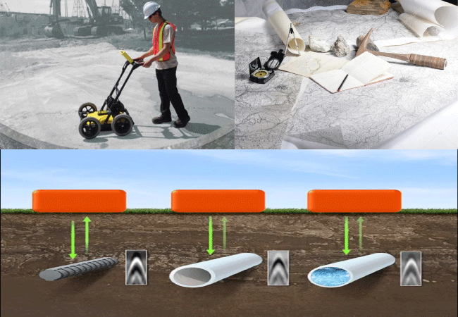
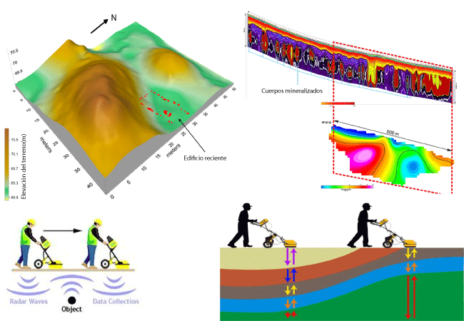
To carry out the data acquisition it is important to define the depth of investigation, and properly select the antenna that we are going to use. In practice, the measurement is made on profiles parallel or perpendicular to the structures we are looking for.
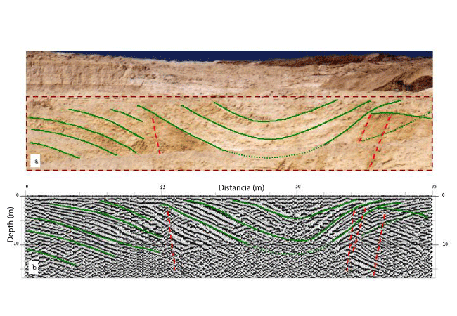
Sometimes it is possible to give a direct interpretation to the field data. However, many times, before reaching a final conclusion, a long process of interpretation is required. Part of this process consists of the previous treatment of the records in order to improve the radargrams, highlighting those anomalies that correspond to signals of interest and minimizing noise.
The last step is to interpret our results (radargrams), integrating all the geological, geophysical, hydrological and topographical information of the study area in order to obtain the interpretation that best approximates the geological reality of the subsoil, and propose the best solution. to our customers.
All the results and conclusions are delivered to the customer through the preparation of a report.
We know how important it is to make a project feasible prior to its completion, which is why we place our conventional communication channels at your service.


© Darcom S.I.S.A - 2022 | All Right Reserved. Diseño Darcom S.I.S.A